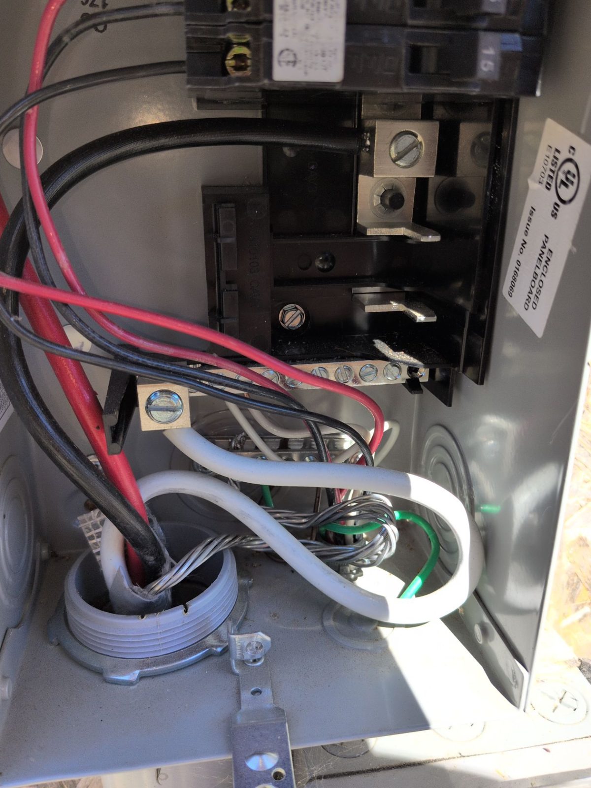
Home / Residential / Roof and drone capture
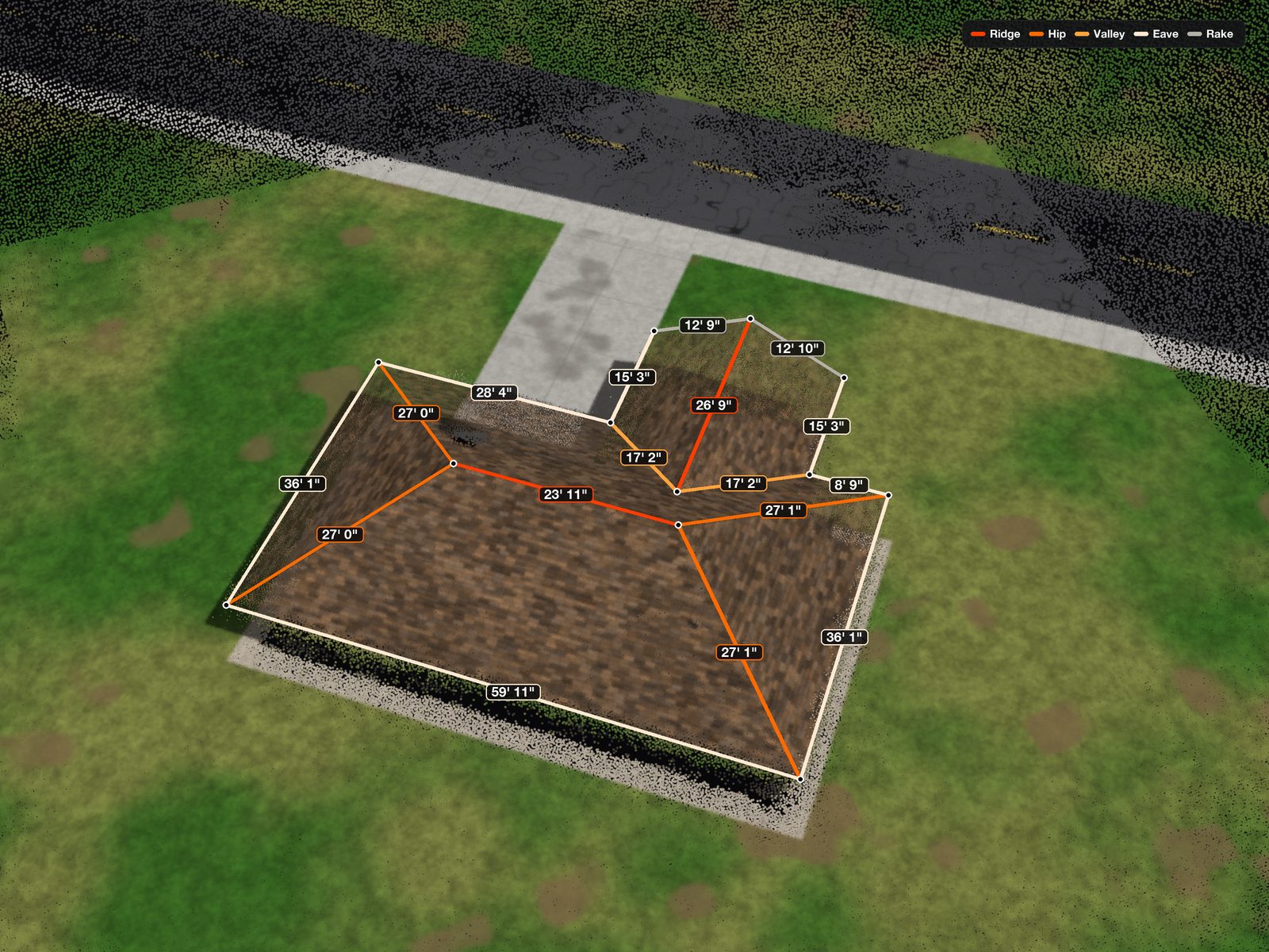
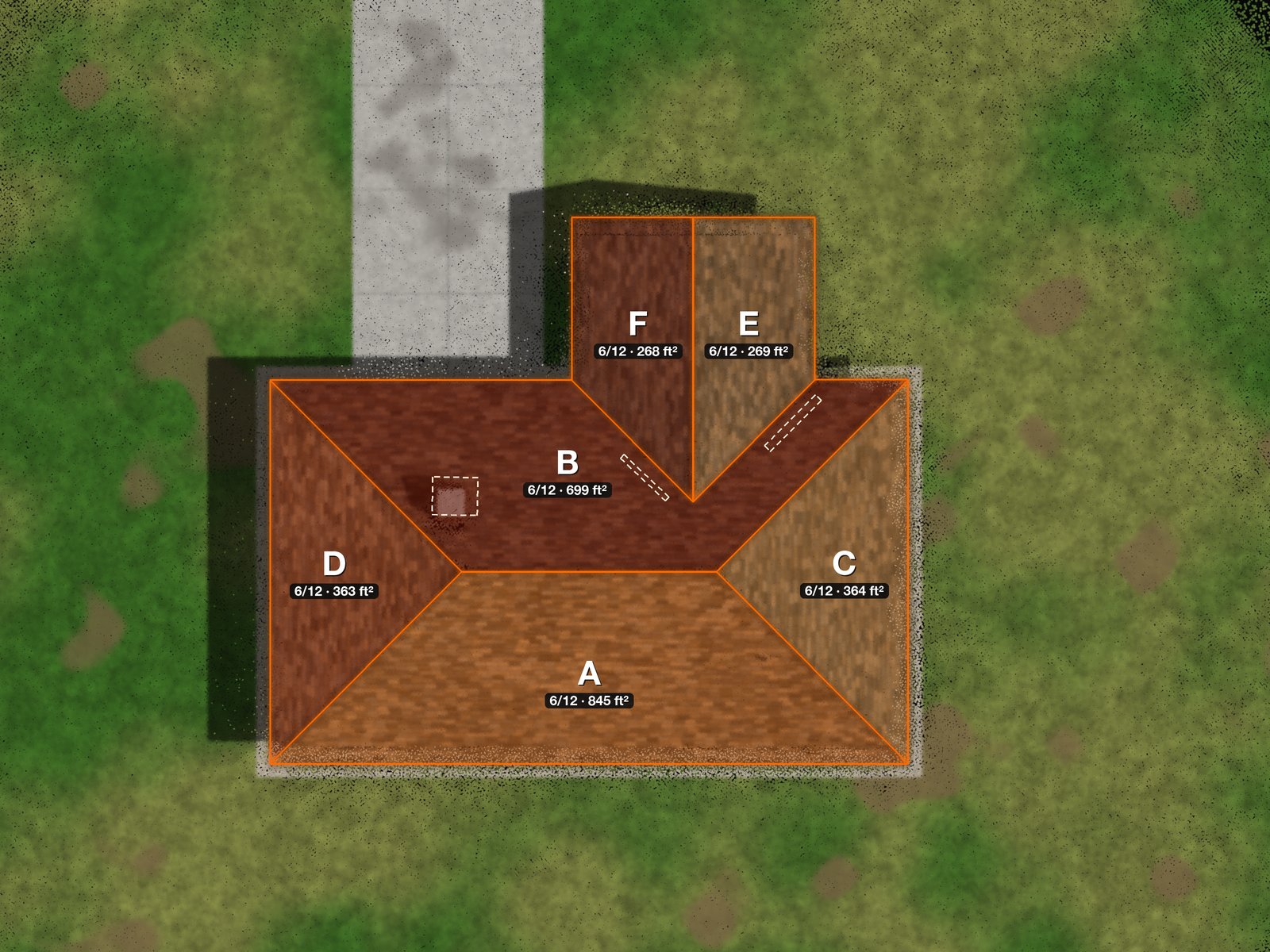
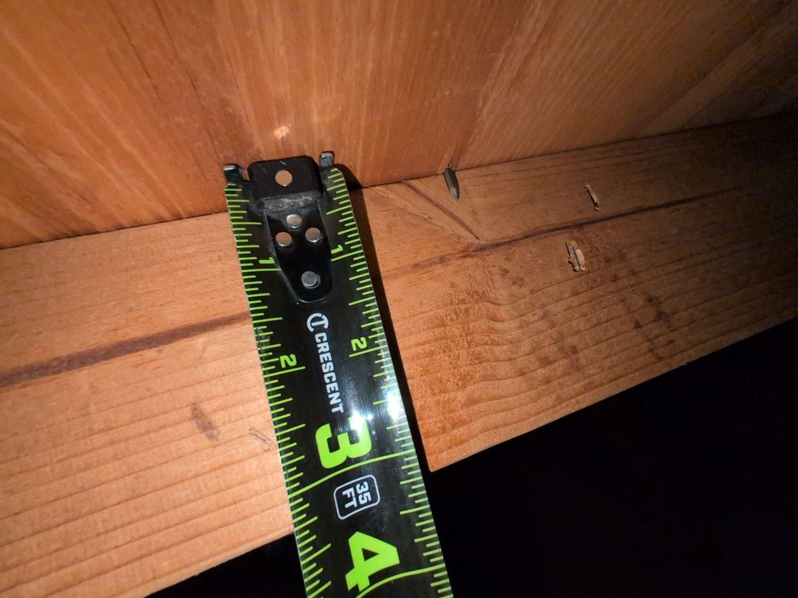
Residential · RoofThe technician puts a tape and a gauge on the planes that matter, then flies the property. You get real numbers on every plane and a 3D model built from the flight.
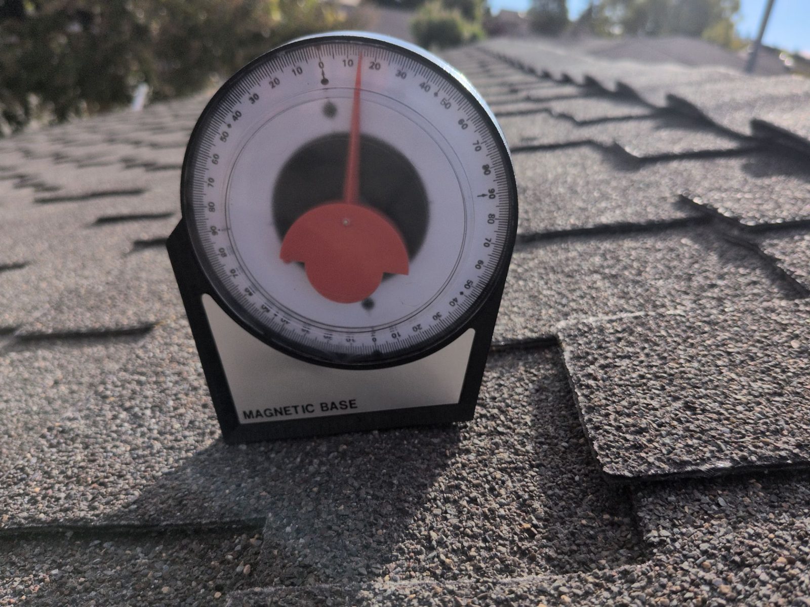
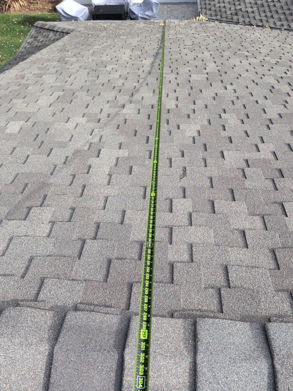
Imagery gives you the edge of the roof. It does not give you the slope break between two planes, the real size of a vent, or where the setback actually starts.
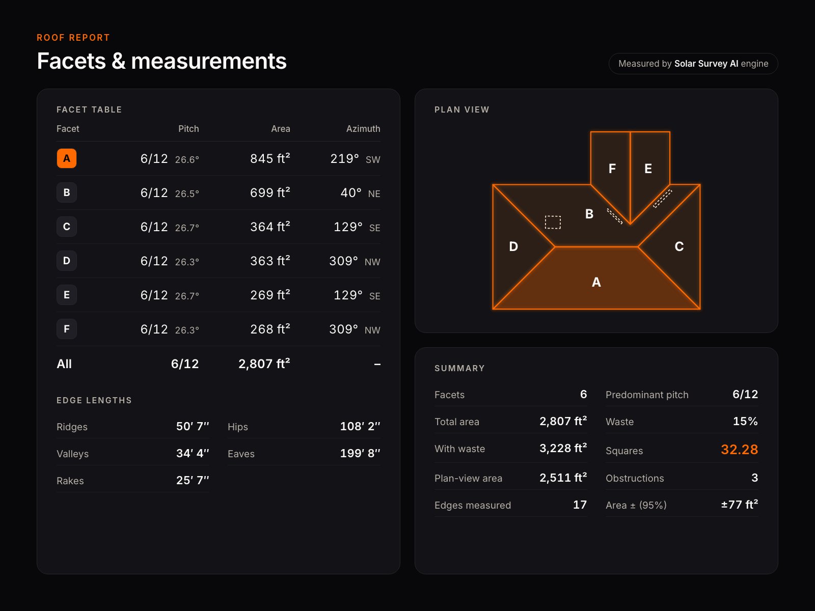
So the technician measures it: plane dimensions, pitch and azimuth, every penetration and obstruction, layer count at a cut edge, and the fire pathways the AHJ will ask about.
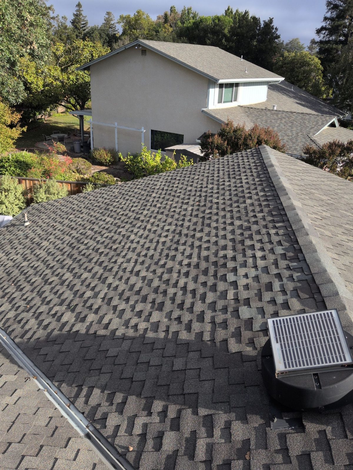
The drone covers every face from overlapping angles. That imagery becomes the 3D model, and it is also the record: if an engineer questions a dimension, the photo is there.
Horizon photos go with it, captured around the array area, so the shade study sees the tree line and the neighbours, not just the roof.

The capture is processed into outputs your designer and engineer can work straight from.


Every plane with a measured area, pitch and azimuth, and every obstruction placed on it.
The sun run across the model for a full year: solar access, TOF and TSRF per plane.
Facet and model exports your design tool can take directly, so nobody redraws the roof.
Captured on every residential visit.
The roof is one of three stops.
Bring your monthly job count and the AHJs you submit into.
Book a 15-min callIn-person site surveys, engineering and inspection for residential, C&I and utility-scale solar, delivered as live data.